


Our Services
Practical, high-quality mapping and farm planning solutions built by farmers, for farmers. From NZFAP+ certification to drone aerial imagery — we handle the technical so you can focus on farming.
What We Do
Our Services
Practical, high-quality mapping and farm planning solutions for New Zealand farmers
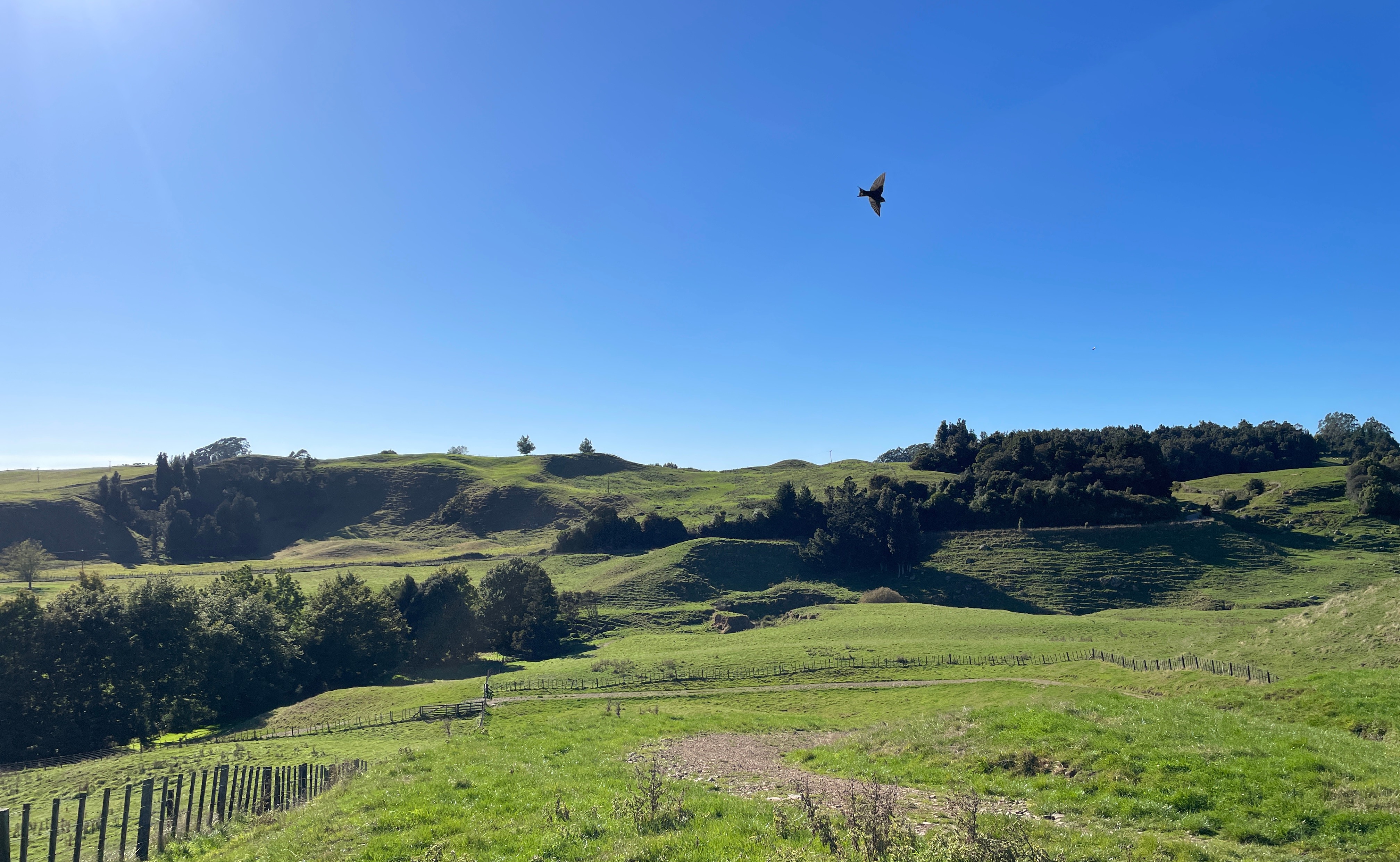
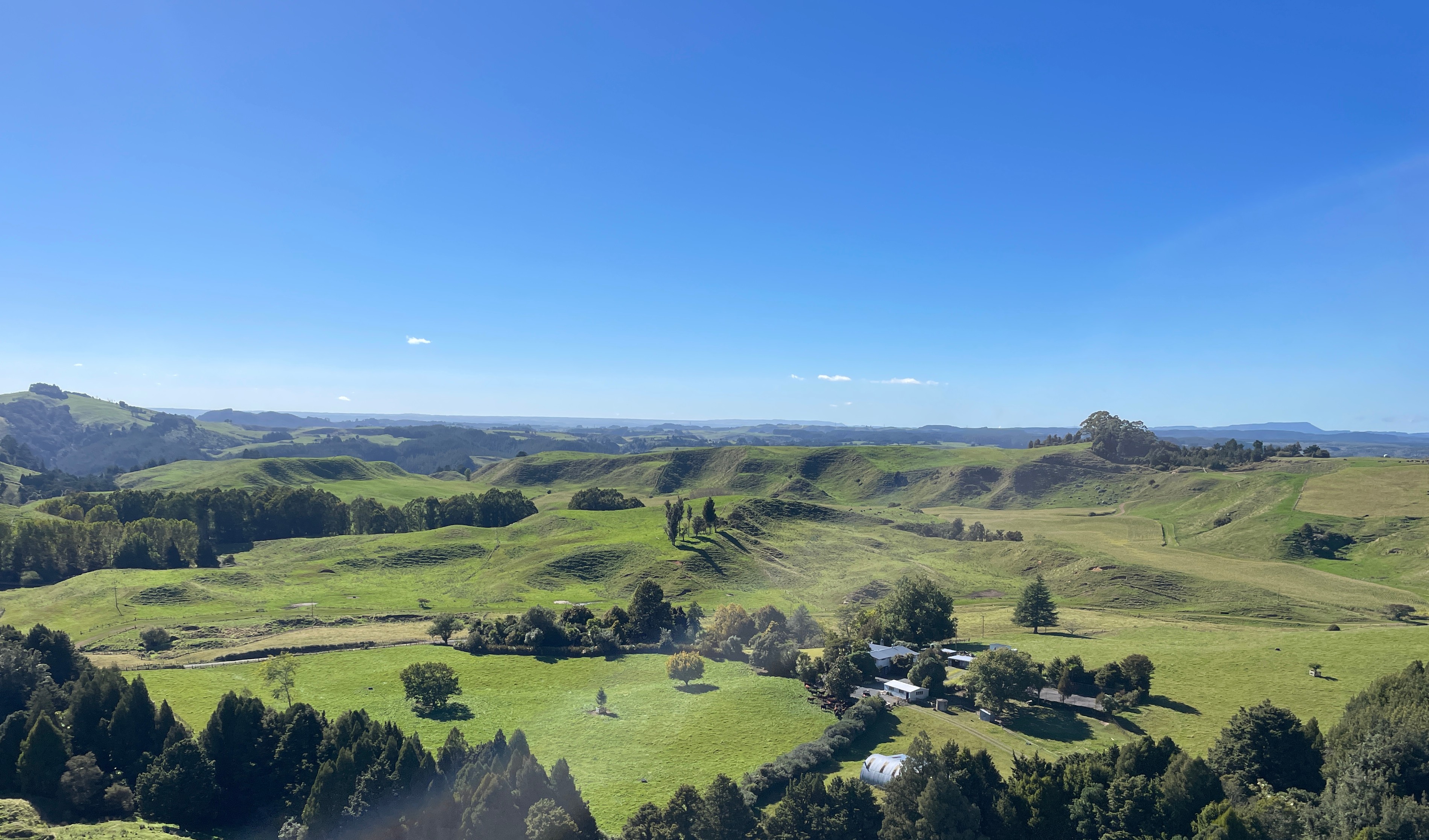
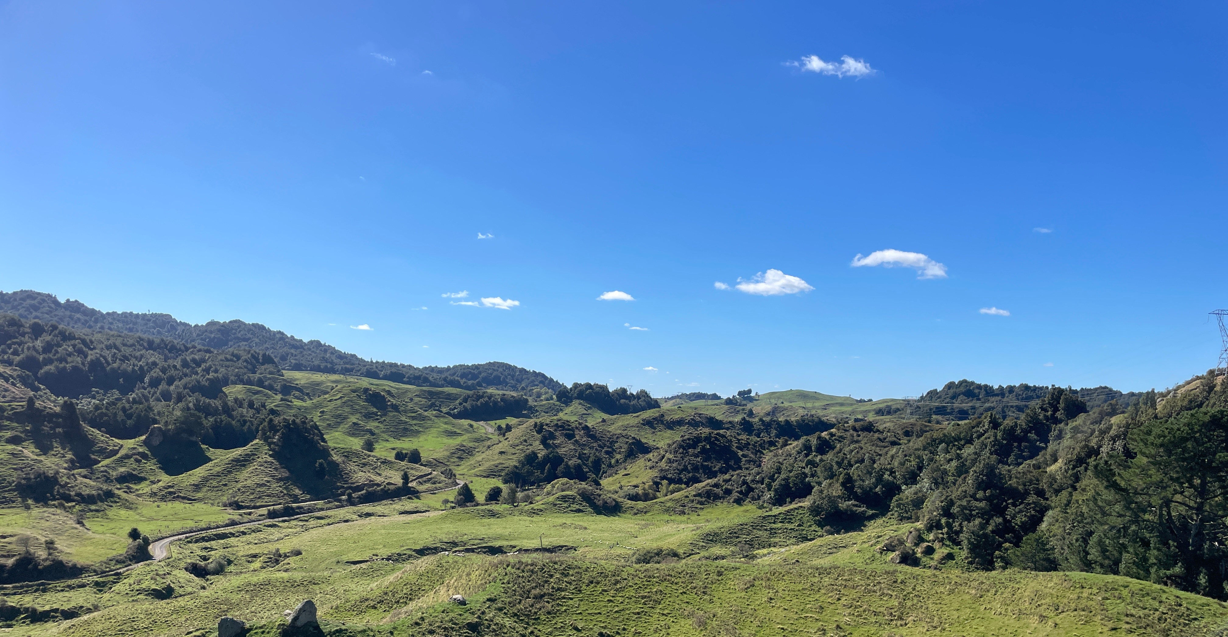
Aerial Photography & Video
DRONE PHOTOGRAPHY
Stunning drone photography and videography of your farm, property, or project. High quality imagery for marketing, documentation, or display.
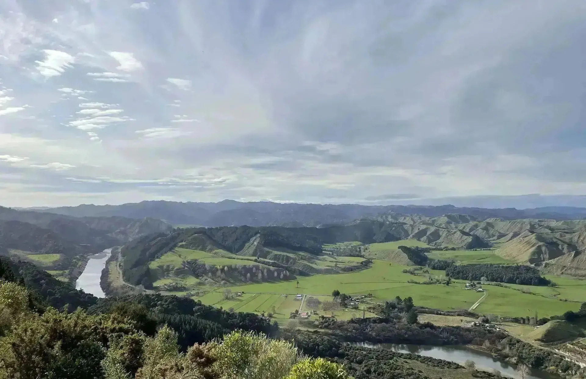
Drone Mapping
AERIAL IMAGERY
High-quality, cost-effective drone aerial imagery and terrain modelling for farm planning, mapping, analysis, or a stunning map on your wall.
Farm Plans (NZFAP+)
NZFAP+ CERTIFIED
NZFAP+ Gold, Silver & Blue certified farm plans. We do it all — built reports complete with maps and a tailored environmental plan.
Freshwater Farm Plans
FRESHWATER CERTIFIED
Comprehensive, fully certified freshwater farm plans for Horizons, Waikato, and Greater Wellington regional councils.
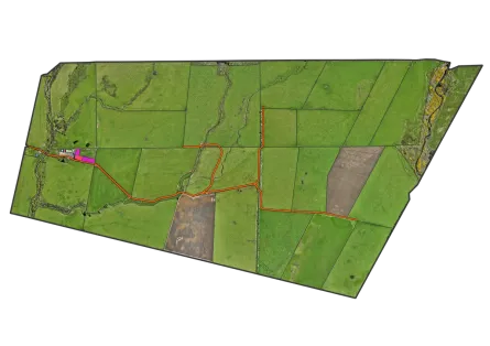
LUC & Soil Mapping
SOIL & LAND MAPPING
Farm-scale Land Use Capability (LUC), Land Resource Inventory (LRI) and Soil Mapping fit for any farm or orchard plan.
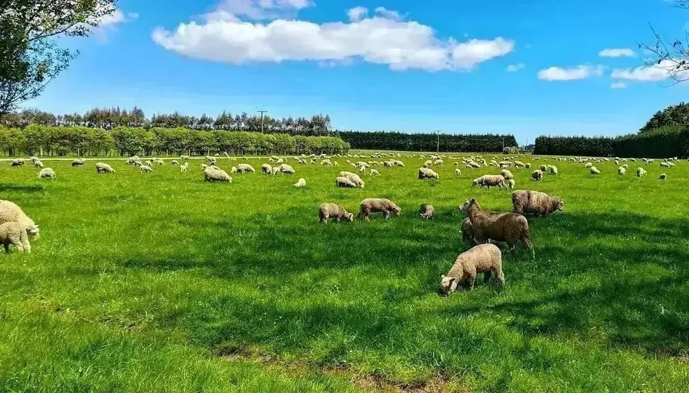
Nutrient Management Plans
NUTRIENT MANAGEMENT
Certified nutrient management plans with practical recommendations. Save money on fertiliser while protecting the environment.
How We Work
A straightforward process built around your farm — from first call to certified plan delivered
Initial Consultation
We start with a conversation about your farm, your goals, and your regional council requirements — so we scope the right service for your situation.
On-Farm Assessment
We come to you. Our team carries out an on-site survey covering soils, land resources, waterways, and any other features required for your plan.
Mapping & Planning
We produce high-quality, farm-scale maps and draft your farm plan using GIS — accurate, detailed, and built to be useful well beyond their regulatory purpose.
Delivery & Certification
We deliver your completed maps and plan in all required formats, support council submission where needed, and remain available for any follow-up.
Compatible With Your Systems
Our maps and farm plans are built to work seamlessly with the software, platforms, and suppliers you already use — from fertiliser companies to compliance programmes and farm management tools.
- Outputs accepted by Ballance Agri-Nutrients & Ravensdown
- Compatible with Overseer nutrient budgeting software
- NZFAP+, B+LNZ and Fonterra compliance-ready map formats
- Delivered in QGIS, ESRI, PDF, and KML formats
 Ballance Agri-Nutrients
  Ravensdown
  Overseer
  DairyNZ
  Beef + Lamb NZ
  Fonterra
  LINZ
LINZ  Esri
Esri  Trimble
  MPI
MPI  Federated Farmers
  FMG
FMG  QGIS
QGIS  FarmIQ
  HawkEye
  Resolution
  VizLink