High-Quality Drone Mapping for New Zealand Farms
We provide cost-effective drone aerial imagery for farm plans, mapping, analysis — or just a dam fine map on your wall. High speed, high accuracy, high resolution. We complete most farms in a day.
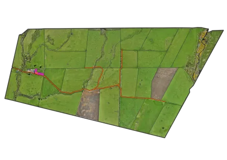
From orthomosaic imagery and terrain modelling to river and wetland mapping, we deliver the data you need for confident farm management and regulatory compliance.
